Aerial View of Worthington


Basic details
Aerial View of Worthington is an image, with genre photograph.
Its dimensions are 5 in. x 4 in..
It was created around 1968-1972.
City of Worthington is the creator.
You can find the original at City of Worthington.
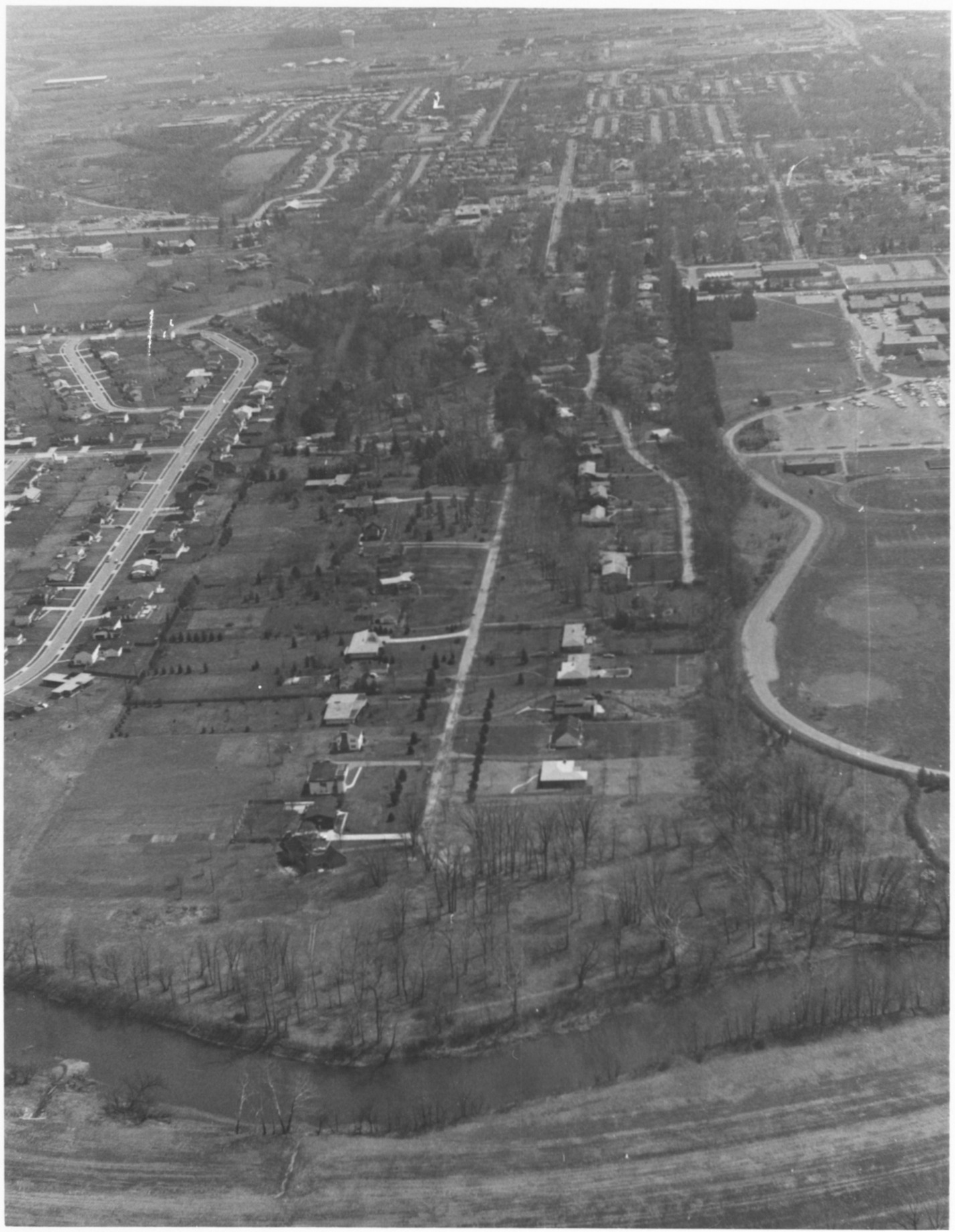
Background
This view from the Olentangy River shows Medick Estates (Tucker Drive and Medick Way looking east). In 1929 Frank Medick began developing the "Clear View" addition in the northwest portion of the Village. He purchased farmland which was developed as Medick Estates and annexed to Worthington in 1951.
Record details
This file was reformatted digital in the format video/jpeg.
The Worthington Memory identification code is cow0073.
This metadata record was human prepared by Worthington Libraries on . It was last updated .


