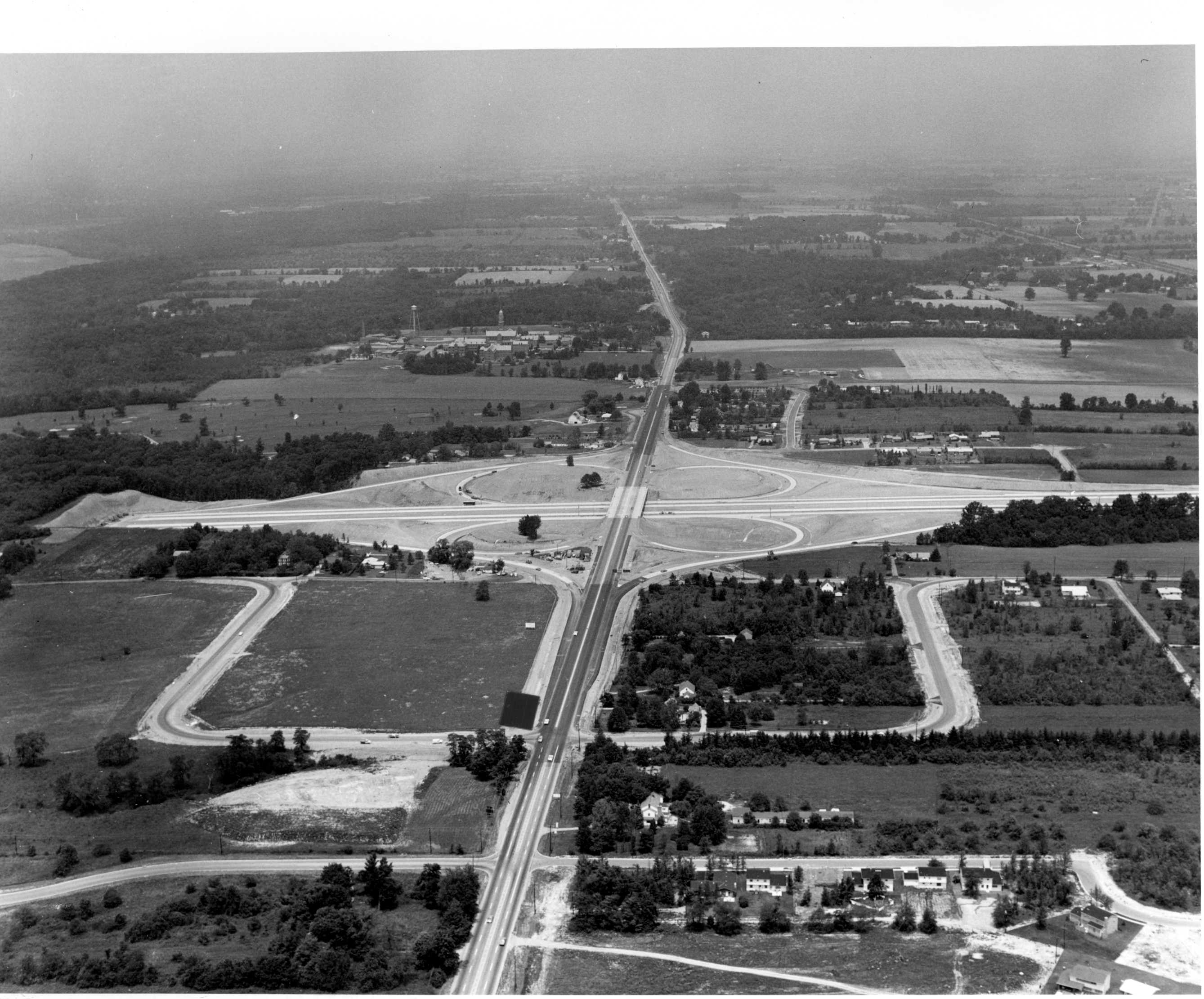
Aerial view of High Street (Rt. 23) and I-270 Interchange


Basic details
Background
Aerial view of High Street (Rt. 23) and I-270 interchange, looking north. Pontifical College Josephinum is depicted in the upper left corner of this photograph.
Planning and construction of Interstate 270, the Columbus Outerbelt, began in 1965. It was completed by the mid-1970's. Outerbelts were a common solution to traffic congestion due to urban sprawl. Businesses then moved to suburban locations, accelerating the decline of the inner city's economic life.
As development has spread beyond the outerbelt, fringe cities like Worthington have experienced economic challenges, as their geographic growth is limited.
Subjects
Record details
Copyright
Aerial view of High Street (Rt. 23) and I-270 Interchange from the collections of the Worthington Historical Society (WHS) may be used for educational purposes as long as it is not altered in any way and proper credit is given: "Courtesy of the Worthington Historical Society, Worthington, OH." Prior written permission of the WHS is required for any other use of Aerial view of High Street (Rt. 23) and I-270 Interchange. Contact WHS at info@worthingtonhistory.org to request permission.


