Aerial View of High Street (Rt. 23)


Basic details
Background
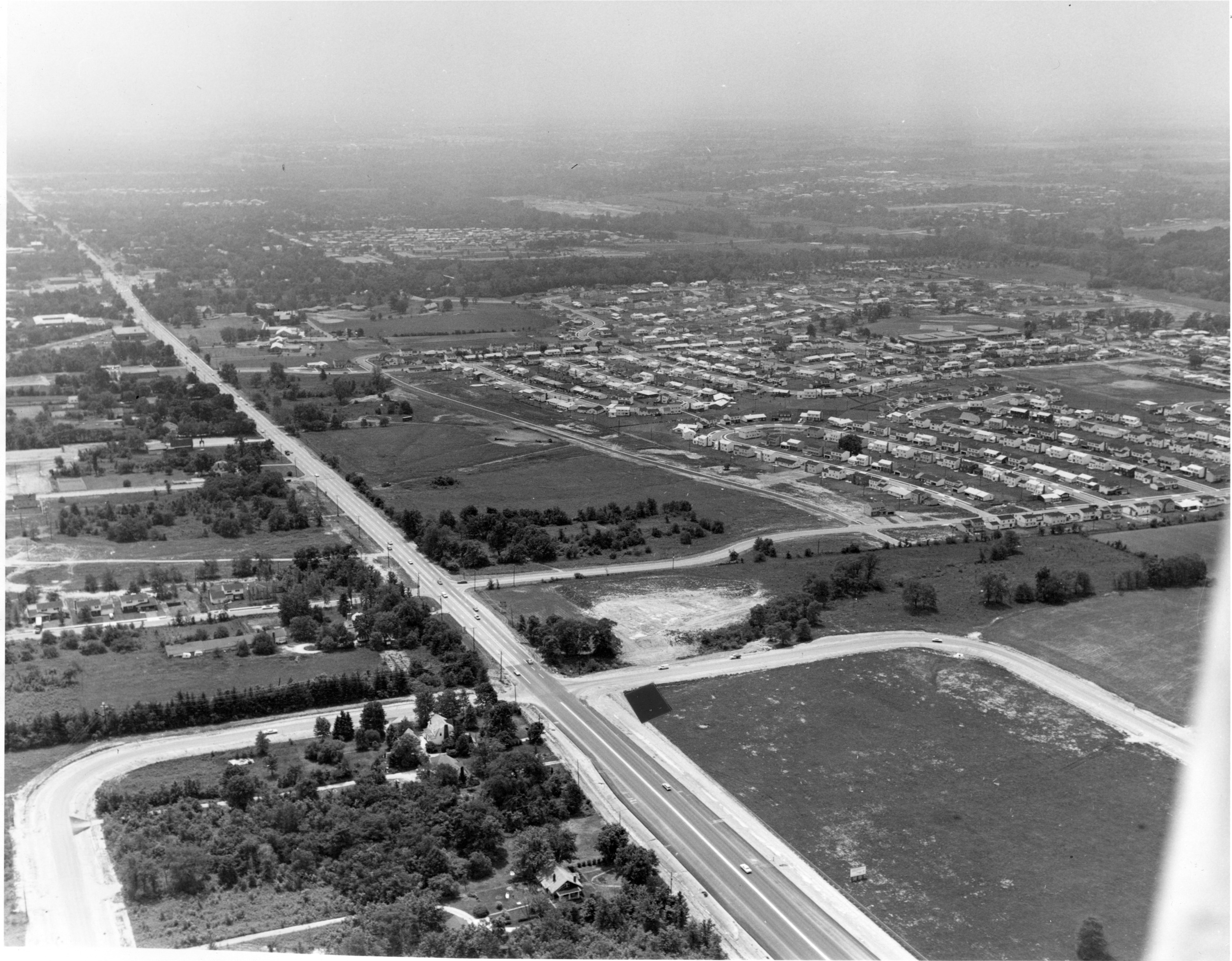
Aerial view of High Street (Rt. 23) looking southwest.
The rural character of Worthington and Sharon Township changed rapidly in the post-war period. Single family houses in suburban areas were very desirable. Worthngton had a good school system, easy access to the downtown, and an attractive appearance. Earlier developments were Colonial Hills in the 1940's and Kilbourne Village in the 1950's. The Worthington Estates development is depicted in the upper right corner of this photograph.
Record details
Copyright
Aerial View of High Street (Rt. 23) from the collections of the Worthington Historical Society (WHS) may be used for educational purposes as long as it is not altered in any way and proper credit is given: "Courtesy of the Worthington Historical Society, Worthington, OH." Prior written permission of the WHS is required for any other use of Aerial View of High Street (Rt. 23). Contact WHS at info@worthingtonhistory.org to request permission.


