Aerial View of Worthington


Basic details
Aerial View of Worthington is an image, with genre photograph.
Its dimensions are 8 in. x 10 in..
It was created sometime in 1970.
City of Worthington is the creator.
You can find the original at City of Worthington.
Background
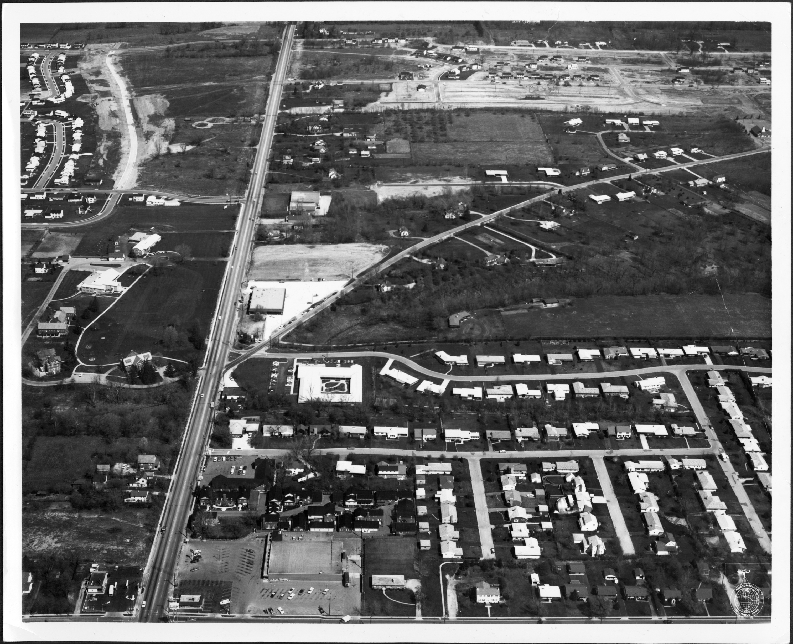
This aerial view looks north up High Street. North Street can be seen at the lower portion of the photograph. Worthington Galena Road branches off to the upper right portion. New development along Wilson Bridge Road is visible at the top.
Record details
This file was reformatted digital in the format video/jpeg.
The Worthington Memory identification code is cow0063.
This metadata record was human prepared by Worthington Libraries on . It was last updated .


