Aerial view of Worthington


Basic details
Aerial view of Worthington is an image, with genre photograph.
Its dimensions are 4 in. x 5 in..
It was created around 1968-1972.
City of Worthington is the creator.
You can find the original at City of Worthington.
Background
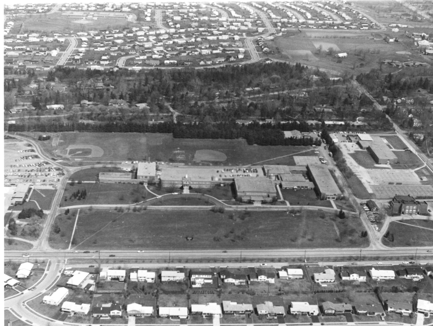
This view looking north from Granville Road (Rt. 161) shows Worthington High School (now Thomas Worthington High School), the Packard Annex and Evening Street Elementary School. Once the school farm, this land has been in continuous use for educational purposes since the founding of Worthington.
Subjects
It features the organization Thomas Worthington High School.
It covers the city Worthington.
It features the address 300 W. Dublin-Granville Road.
Record details
This file was reformatted digital in the format video/jpeg.
The Worthington Memory identification code is cow0076.
This metadata record was human prepared by Worthington Libraries on . It was last updated .


