Aerial View of Worthington

Basic details
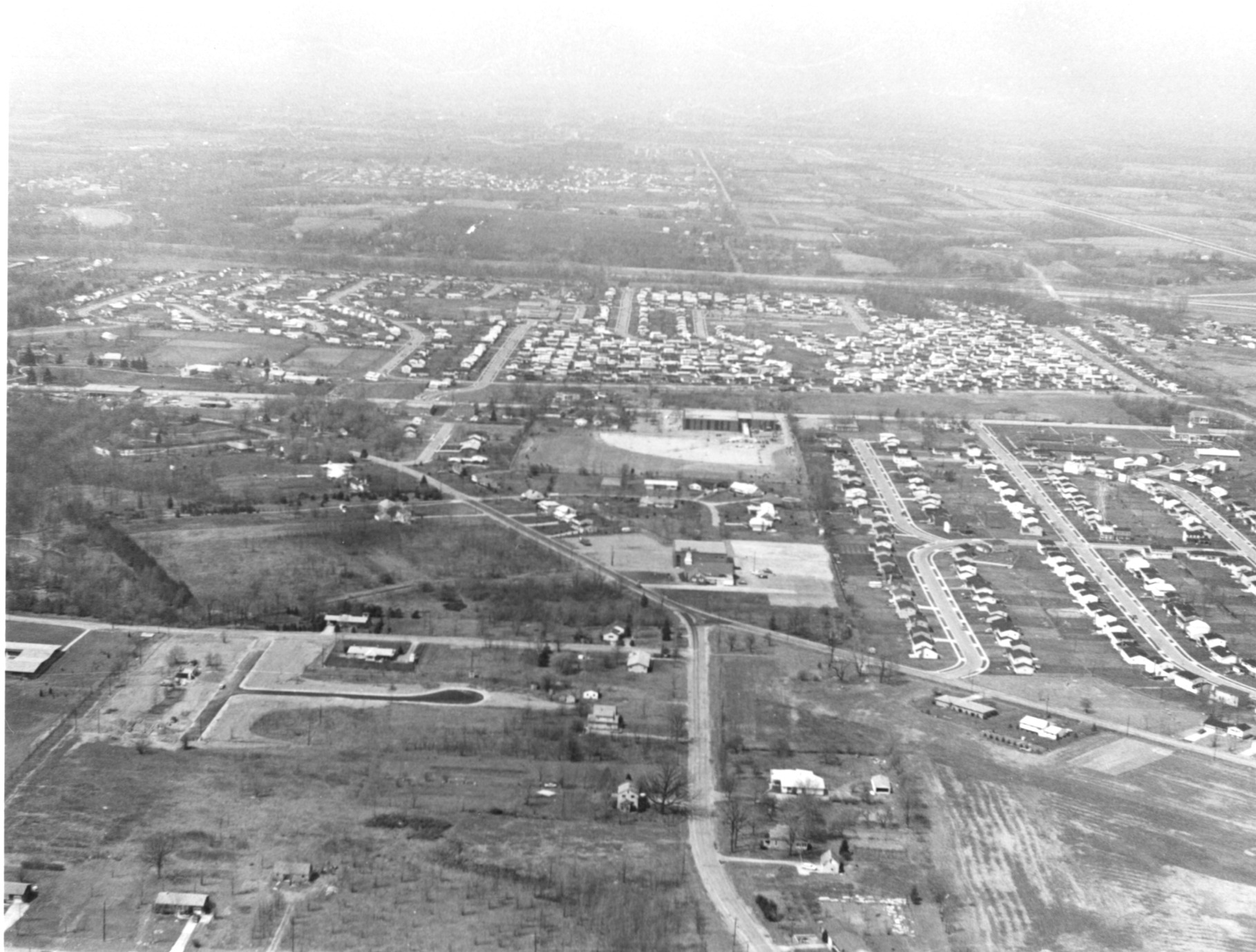
Aerial View of Worthington is an image, with genre photograph.
Its dimensions are 4 in. x 5 in..
It was created around 1968-1972.
City of Worthington is the creator.
You can find the original at City of Worthington.
Background
This view shows Worthington Galena and Schrock Roads looking west toward High Street.
Subjects
It covers the topics streets and roads and neighborhoods.
It covers the city Worthington.
It features the addresses 6675 Worthington Galena Road and 6700 N. High Street.
Record details
This file was reformatted digital in the format video/jpeg.
The Worthington Memory identification code is cow0078.
This metadata record was human prepared by Worthington Libraries on . It was last updated .


