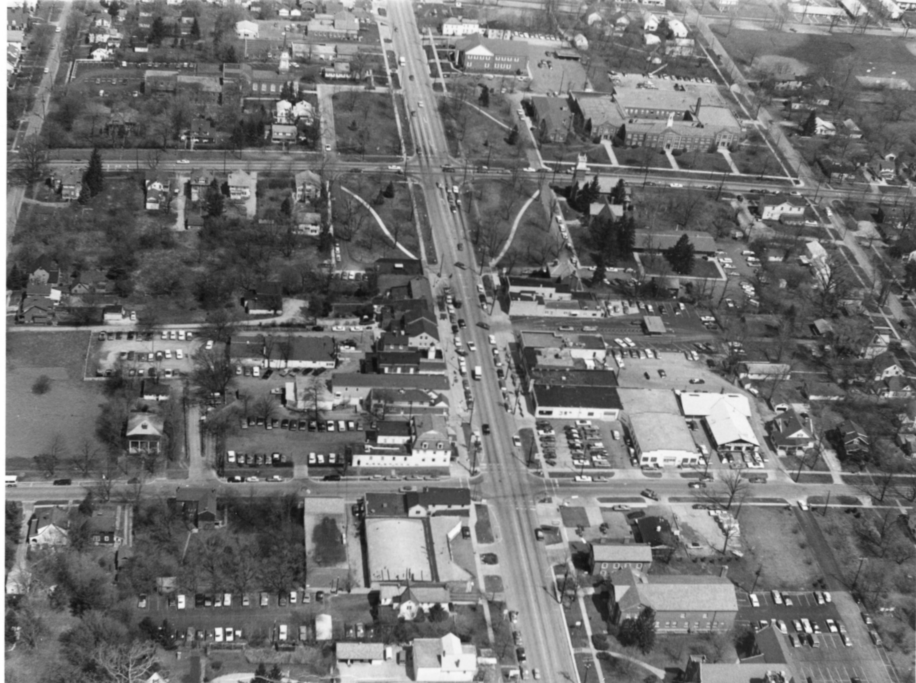
Aerial View of Worthington

Basic details
Aerial View of Worthington is an image, with genre photograph.
Its dimensions are 4 in. x 5 in..
It was created around 1968-1972.
City of Worthington is the creator.
You can find the original at City of Worthington.
Background
This view shows High Street, looking north from the business district to the north end of the Village Green. This section of the city is known as Old Worthington.
Subjects
It covers the Worthington neighborhoods
Old Worthington and Village Green.
It features the addresses Village Green NE, Village Green NW, Village Green SW, Village Green SE, 649 High Street and 700 High Street.
Record details
This file was reformatted digital in the format video/jpeg.
The Worthington Memory identification code is cow0071.
This metadata record was human prepared by Worthington Libraries on . It was last updated .


